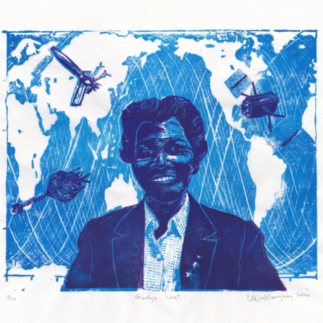
Happy birthday to #mathematician & geodesist Gladys West (née Brown in 1930)! Shown with satellite tracks & 3 satellites important to her career: Seasat, GEOS-3 & a GPS satellite. Her work, using math to precisely model the shape of Earth, laid the groundwork for GPS! Born to sharecropper parents in Virginia, she graduated with a Math BSc in ‘52 then MSc at VSU in ‘55. 🧵1/n
#linocut #printmaking #womenInSTEM #BlackInSTEM #histsci #Spacetober #EarthScience #Math
#linocut #printmaking #womenInSTEM #BlackInSTEM #histsci #Spacetober #EarthScience #Math

Ele Willoughby, PhD
Unknown parent • • •Ele Willoughby, PhD
in reply to Ele Willoughby, PhD • • •distortions in Earth’s shape due to gravitational, tidal & other forces. Her calculations produced an extremely accurate geodetic Earth model, or geoid, optimized to determine satellite orbits of GPS. She thus played a pivotal role in the development of tech which is central to our lives.
In ‘86, she published Data Processing System Specifications for Geosat Satellite Radar Altimeter, a 51-page technical report for Naval Surface Weapons Center (NSWC), a 🧵4/n
Ele Willoughby, PhD
in reply to Ele Willoughby, PhD • • •guide to increase accuracy of the estimation of geoid heights & vertical deflection, based on Geosat radio altimetry data.
She retired in ‘98, but decided to return to academia. She suffered a stroke but persisted & completed a PhD in Public Administration from Virginia Tech in 2018 at age 88!
🧵5/5
minouette.etsy.com/listing/821…